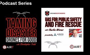
Podcast Series: Drones for Good & Public Safety
The Airborne International Response Team (AIRT), the leading 501(c)3 non-profit organization supporting Drones For Good™ and the official home of DRONERESPONDERS, today launched a new dual-program podcast series highlighting the use of unmanned aircraft systems (UAS) and related technology across the emergency management and public safety sectors. The AIRT podcast series is presented by AiRXOS, […]