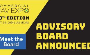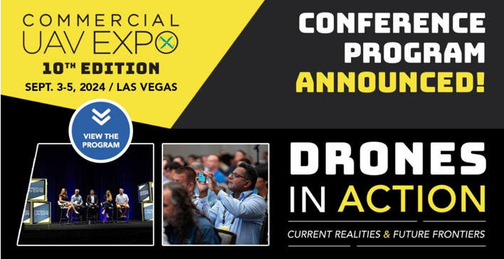


Commercial UAV Expo Program & Speaker Line-Up
Organizers of Commercial UAV Expo, the world’s leading commercial drone trade show and conference, have announced an impressive list of conference topics and a roster of industry leaders who will provide insights on real-world use-case and strategies at the 2024 event. With the theme “Drones in Action: Current Realities & Future Frontiers,” the education program […]